
The Pelican State
About Louisiana
Where the river runs out of land
Louisiana ends the way few states do. Not at a line on a map, but in a slow dissolve of marsh, pass and open water where the Mississippi River finally hands itself over to the Gulf of Mexico. The last stretch of that handoff is the bird's-foot delta below New Orleans, a landscape that is more water than ground and that changes shape with every season, every storm and every tide.
That geography is why Louisiana fishes the way it does. The river carries nutrients down its entire length and empties them into warm, shallow Gulf water, and the marsh behind the barrier islands turns that into nursery ground. Inshore, the result is redfish and speckled trout in water shallow enough to wade. Offshore, the current lines and rips that form where fresh water meets salt hold yellowfin tuna, wahoo and billfish within reach of a single day's run. Few places in North America put two kinds of fishing that different inside the same morning's drive.
The end of the road
Drive south from New Orleans on Louisiana Highway 23 and the road narrows, the land thins to a ribbon between levee and water, and then it simply stops. That is Venice: the last town on the highway, the closest launch to the mouth of the river, and the reason people here say "the end of the road" without irony.
What the cameras are for
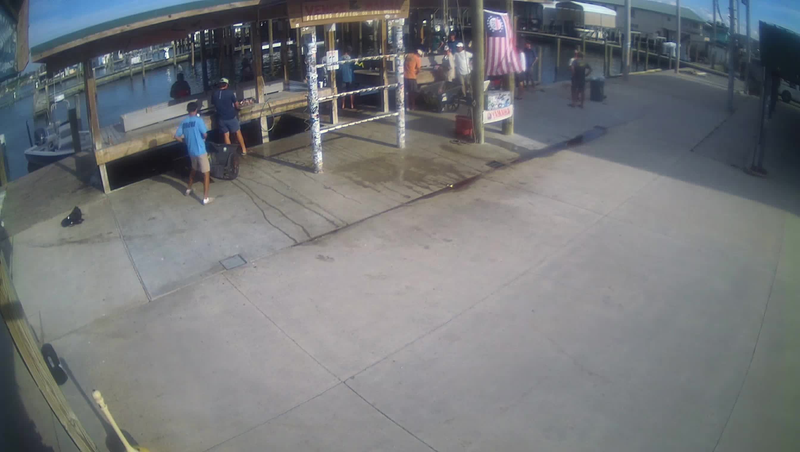
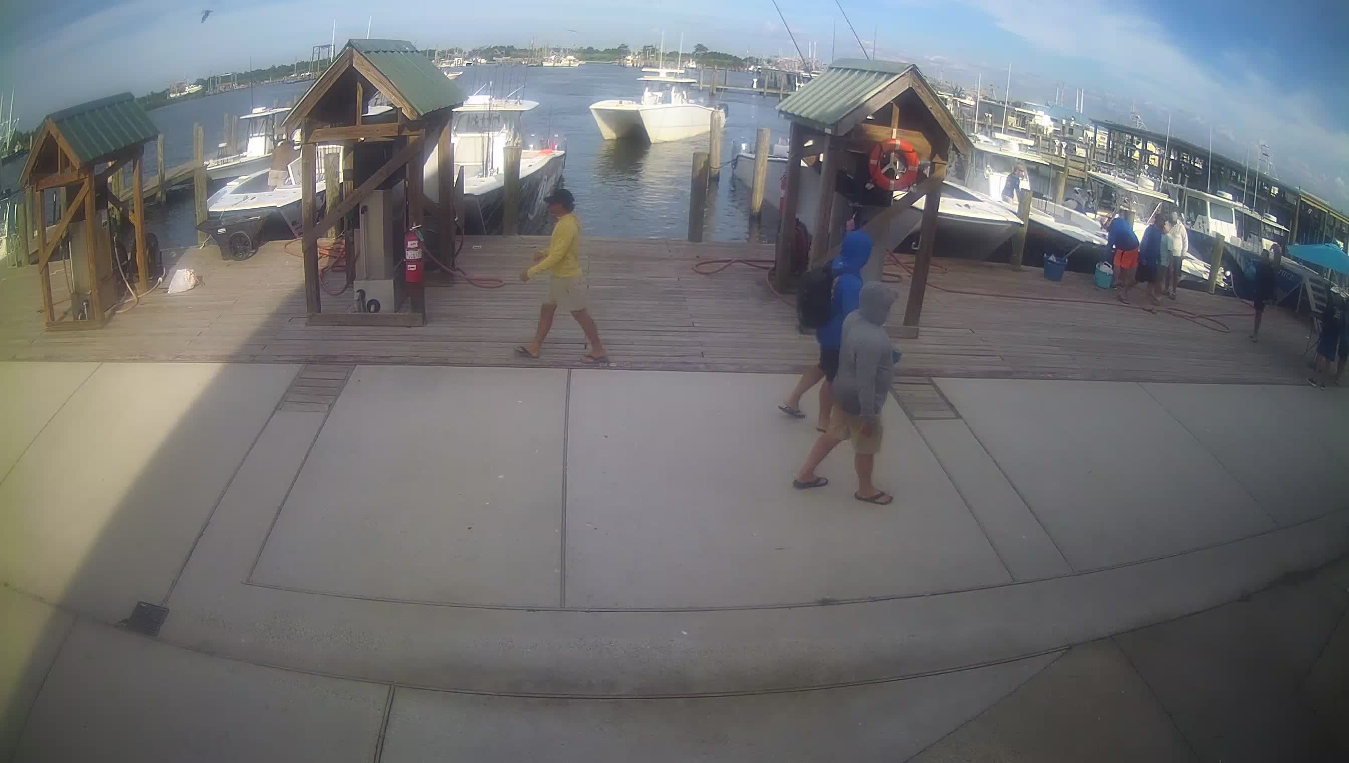
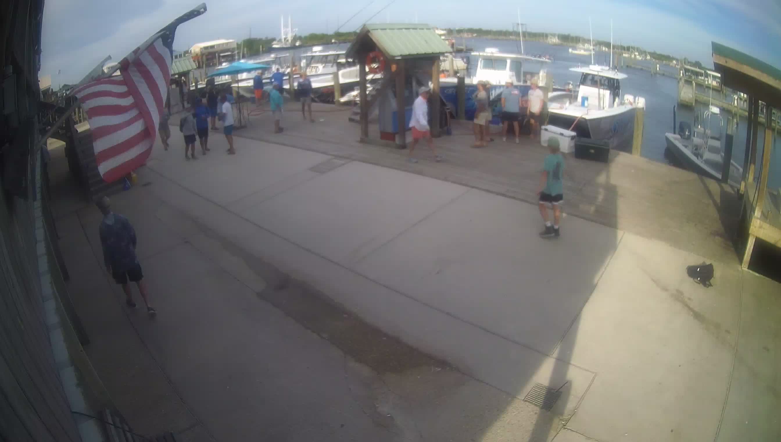
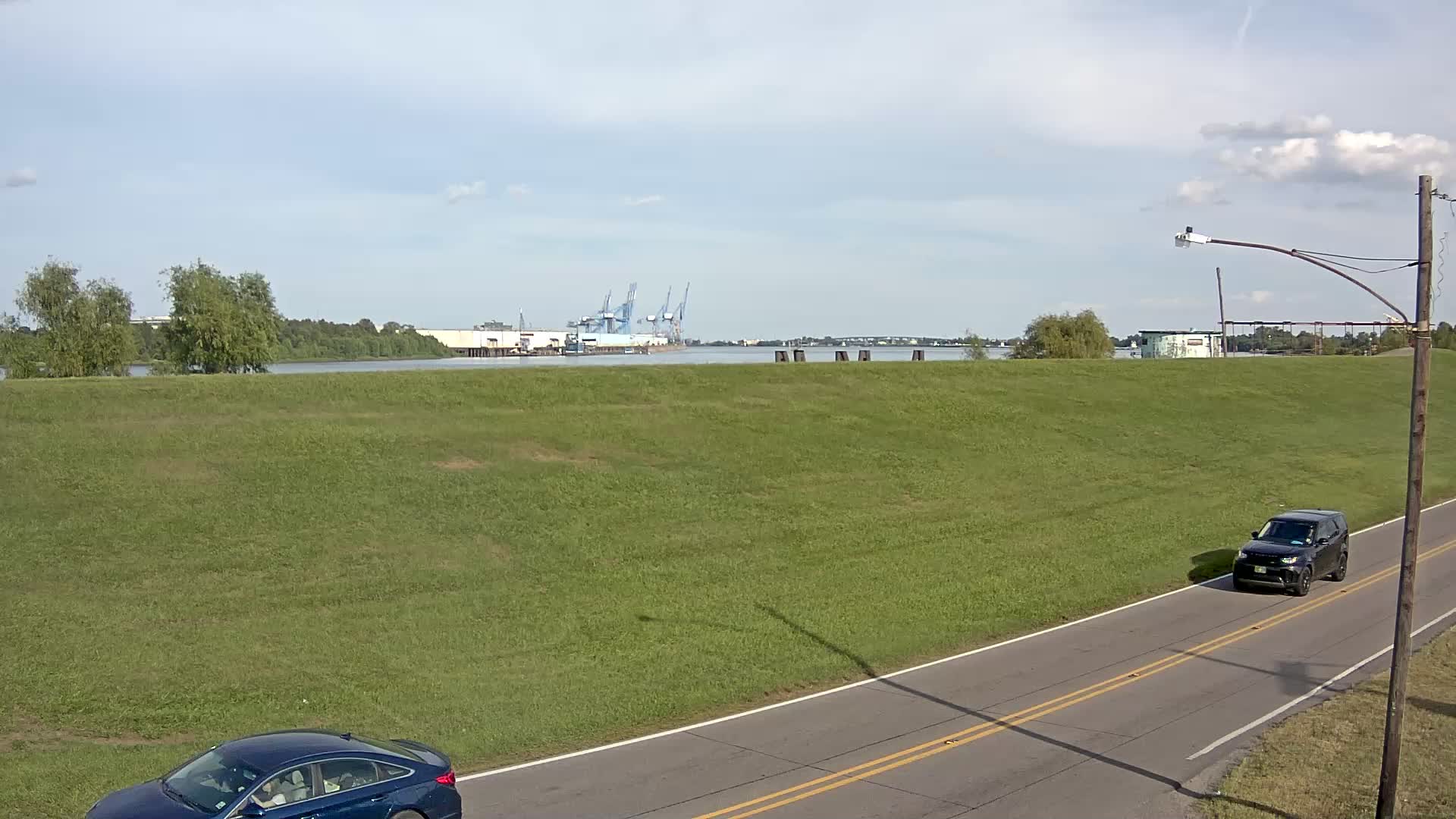
NationCam's Louisiana feeds are pointed at the working edge of that delta, not at scenery for its own sake. Watch them to see:
- What the water is actually doing, whether it is flat, chopped up, or brown with river push
- What the weather looks like on the coast rather than on a forecast map
- How busy the docks are, and whether boats are heading out or coming back
- Whether conditions justify the drive down, before you make it
Cameras are also the only honest way to watch this coast change. The delta is not a fixed place, and a live view of it is a running record of a landscape that rearranges itself.
A growing network
The Louisiana coverage here is a start, not a finished map. The network grows when people who live and work on the water put a camera up. If you run a marina, a launch, a camp, or any business with a view worth sharing, hosting a feed costs nothing and puts your stretch of coast alongside the rest.